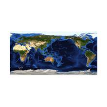
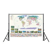
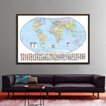
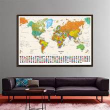
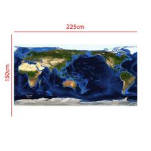
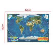
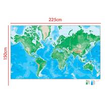
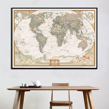
150x225cm Aerial View Of Satellite Map The World Topography And Bathymetry Map With National Flags For Research
Go to store
This product is no longer for sale, see similar items
Link copied to clipboard, share itOr send it to social networks
Price dropped by 4.15 $
Lower than average, a lotSeller reliability is unknown
minimoto Photo Props Store
- The seller does not have enough completed orders and reviews to evaluate his reliability
Prices at other sellers from 7.62 $

48 similar items found


0 ratings
0 orders
No photos from buyers yet
Product specifications
- Origin: CN(Origin)
Show all